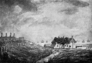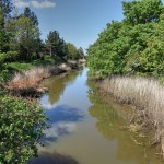
River Alver in 1847
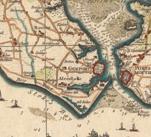
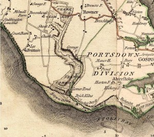
Early maps show a river running along the western border of Alverstoke village and exiting to the sea at Stokes Bay but few of these maps name the river as the ‘River Alver’. This river arises in a series of springs and surface water drainage ditches in the Chark Common and Foxbury area northwest of Stokes Bay. It flows southwards, gathering water until it reaches a concrete canal running alongside the western edge of No.2 Battery at Stokes Bay. Here it exits to the sea via a sluice that was originally installed by the Royal Engineers in 1847 and updated by them in 1860 and 1879.
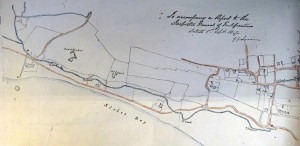
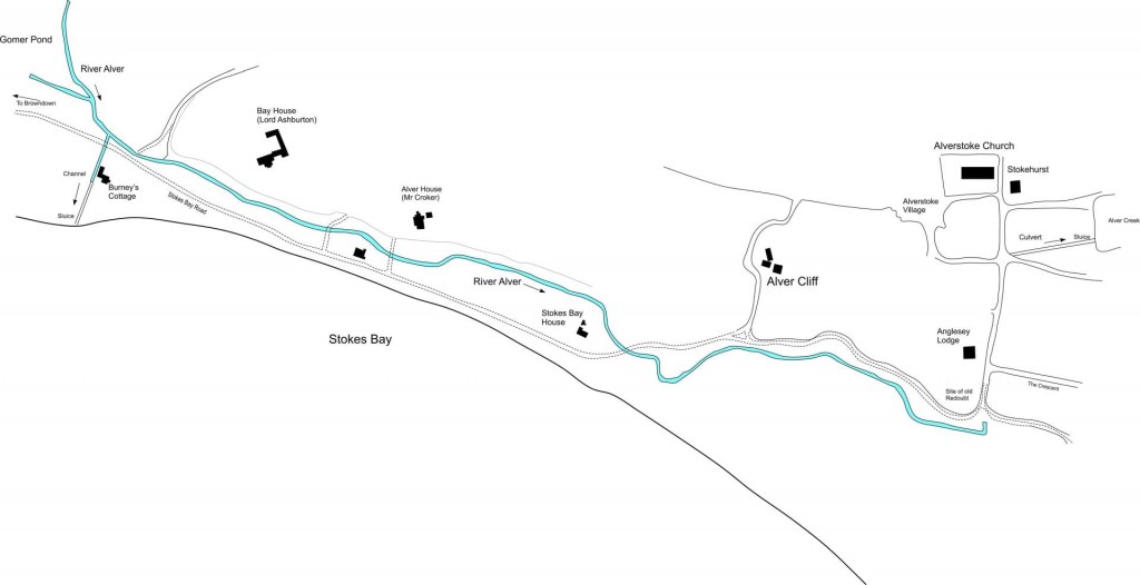
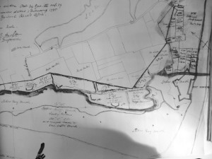
The original course of the River Alver ran across Browndown, through an area of low lying marshy ground called Gomer Ponds and then eastward along Stokes Bay behind the shingle bank of the Bay, finally exiting to the sea via a tidal marsh at Gilkicker Point, called the ‘Stoke Morass’ or ‘Stoke Marsh’.
 |
 |
 |
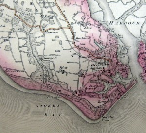 |
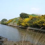
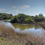
Various maps show the route of the river along the Bay without naming it. It flowed beneath a small cliff which gave rise to the names of the houses ‘Alverbank’ and ‘Alvercliff’. It is referred to in correspondence between the owners of Bay House, Alverbank and the Royal Engineers as a ‘brook’ or ‘the main ditch’ and was below the level of the sea, causing it to become stagnant during times of low water flow. According to a letter between Lord Ashburton, John Croker and the Rev. Byham, it was also filled with bricks, stones and building debris following the construction of Bay House.
Correspondence between the Rector of Alverstoke, the Rev. Walpole, and the Royal Engineers (who owned the land through which the river flowed) led to the diverting of the Alver into Stoke Lake, via a culvert in 1847/48. First the Royal Engineers constructed a sluice to connect the River directly to the sea at the western end of the Bay. Then they constructed a culvert to connect the river to Stoke Lake. They then closed the sluice and the river continued its flow parallel to the Bay until it reached the culvert at the southern end of what it now Anglesey Road. The river could then flow into the creek close to the southern side of Stokehurst Old Rectory. This diversion allowed the marsh at Gilkicker to drain, settling the problem referred to by the Walpole in his letters, namely the ‘offending state of the River Alver at Stokes Bay‘. This is probably the first written reference to the river having this name. In the letter the Inspector General of Fortification (the most senior Royal Engineer) discusses the fact that “the bed of the brook in dry seasons fills with salt water, which filters through the beach from the sea and becomes stagnant from a want of a quick outlet and produces a disagreeable effluence which was sufficiently apparent when I visited that spot last month“
In 1860 the Royal Engineers constructed a defensive moat along the length of the Bay from No.1 and No.2 Battery in the west to Fort Gilkicker in the east. The river Alver was then used to keep the level of water in the moat constant. A series of penstocks along the Bay allowed the engineers to control the depth. The River Alver was allowed to exit to the sea directly via a sluice at the corner of No.2 Battery. When this sluice was closed the river was diverted into the moat system and finally exited to the sea at the bottom corner of Gilkicker Lake.
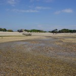
When the moat surrounding No.2 Battery was filled in 1952 the River Alver continued to flow into the Bay via its sluice, which is where it can be seen today flowing out across the beach at Low tides. The section of concrete canal west of No.2 Battery is all that remains of the 1860 Stokes Bay Lines.
The drying up of the original course of the River Alver left behind a small pond, which was used by locals as a paddling pool.
